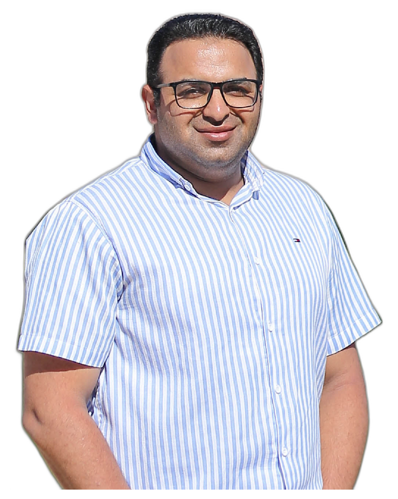
I'm

Ahmed Abdelwahed

Cartographer, GIS Analyst, Cartography Lecturer, GIS Lecturer
Hero Image
Image

Learn About Me

10 Years Experience

I am Cartographer & GIS Analyst as Freelancer for 10 Years, In addition to Cartography & GIS Lecturer at Faculty of Arts, Geography department, Menoufia University

ArcGIS Pro

90%

ArcGIS Online

85%

ArcGIS Survey123

80%

AutoCAD

70%

Adobe illustrator

55%

HTML

90%

CSS

85%

JS

65%

Leaflet.JS

75%

Courses Certificate

Education

Working Experience

November 2021 - Present

Cartography and GIS Lecturer

Menoufia University, Geography department, Egypt

  • Guiding students with their graduation projects
  • Giving lectures in the field of specialization- Courses name(Geographic Information Systems - Producing Maps & Atlases - Cartographic Methods)
May 2013 – Present

Cartographer & GIS Analyst

Freelancer Work

work in GIS projects and research studies

November 2016 - 2021

Assistant Lecturer

Menoufia University, Geography department, Egypt

  • Conducted lectures and advised students during office hours
  • Collaborate with Lecturer in practical training for students
    Courses name: (Geographic Information Systems - Producing Maps & Atlases)
  • Supervision of students in the field studies using a Total Station and GPS
November 2015 – May 2017

Cartographer & GIS Analyst

Eco Con Serv Company for Environment Solutions, Egypt

  • Convert all files (AutoCAD data - Total Station data - GPS data) to GIS data.
  • Creating GIS maps and accompanying the data collection team to collect data about facilities and utilities
  • Create maps to all facilities
  • Doing site visits to the governorates and preparing GIS maps to the selected areas
March 2011 - November 2016

Demonstrator

Menoufia University, Geography department, Egypt

  • Collaborate with Lecturer in practical training for students
    Courses name: (Fundamentals of GIS - Distributions Maps - Cartographic Methods)

My Portfolio

  • All
  • Map Design
  • Web GIS Application
  • Graphical report design
Image

Zawyet Razin

Image

water sources

Image

Coral Reef

Image

Kafr El Dawar

Image

Amriya Area

Image

Wadi El Gemal

Image

Kut urban

Image

Bardawil Lake

Image

Water network

Image

Nature Reserves

Image

Matrouh Tourist

Image

Siwa Map

Image

Medina

Image

Population

Image

Wadi El Gemal

Image

Vision

My Courses

Distribution maps

Free

  • Arabic
  • Available on YouTube
  • 19 lectures
  • 7h 56m total length
  • Last updated 12/2020

Learn ArcGIS Pro

$35

  • Arabic
  • Available on Udemy
  • 91 lectures
  • 17h 31m total length
  • Last updated 10/2019

Spatial Analysis

$35

  • Arabic
  • Available on Udemy
  • 149 lectures
  • 16h 1m total length
  • Last updated 1/2023

ArcGIS StoryMaps

$35

  • English
  • Available on Udemy
  • 54 lectures
  • 3h 48m total length
  • Last updated 11/2022

Contact